500 Cortland Ave, San Francisco, CA 94110
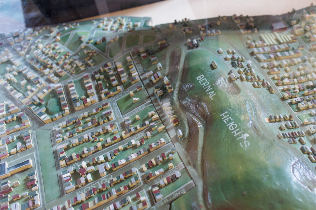
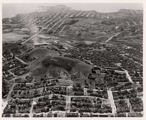
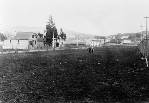
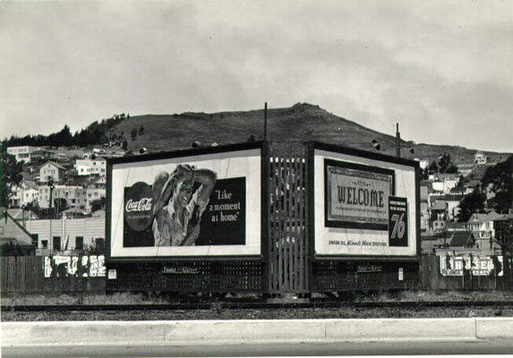
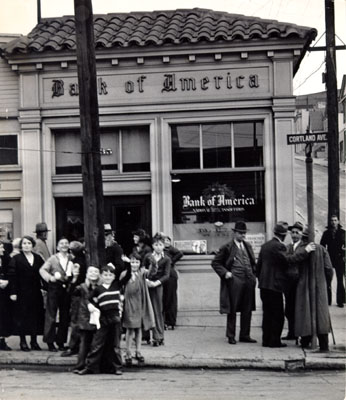
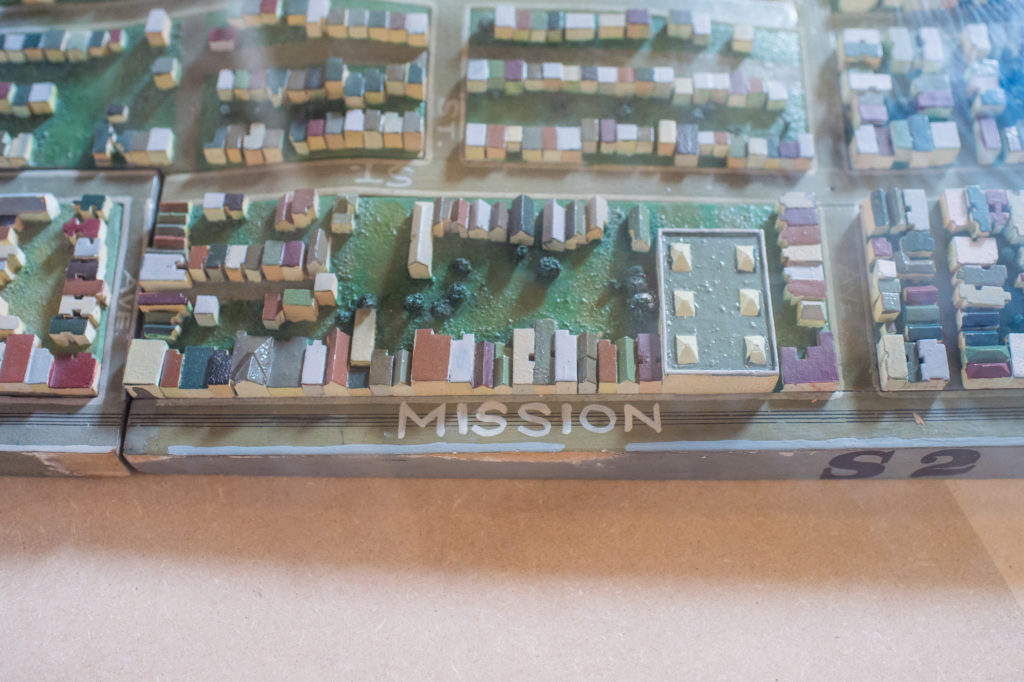
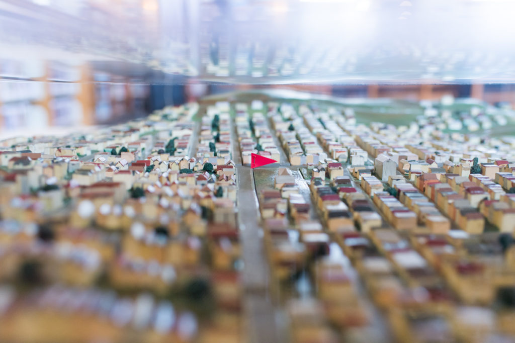
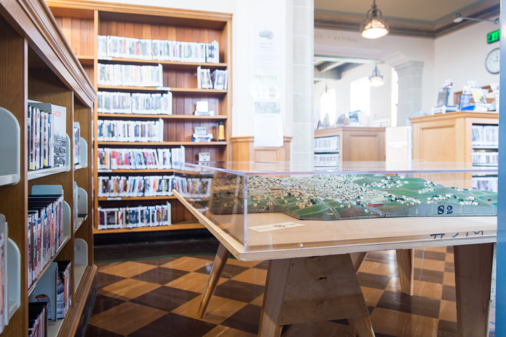
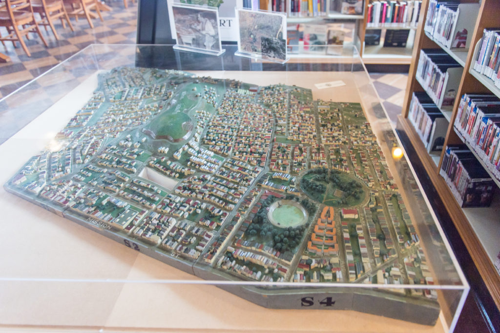
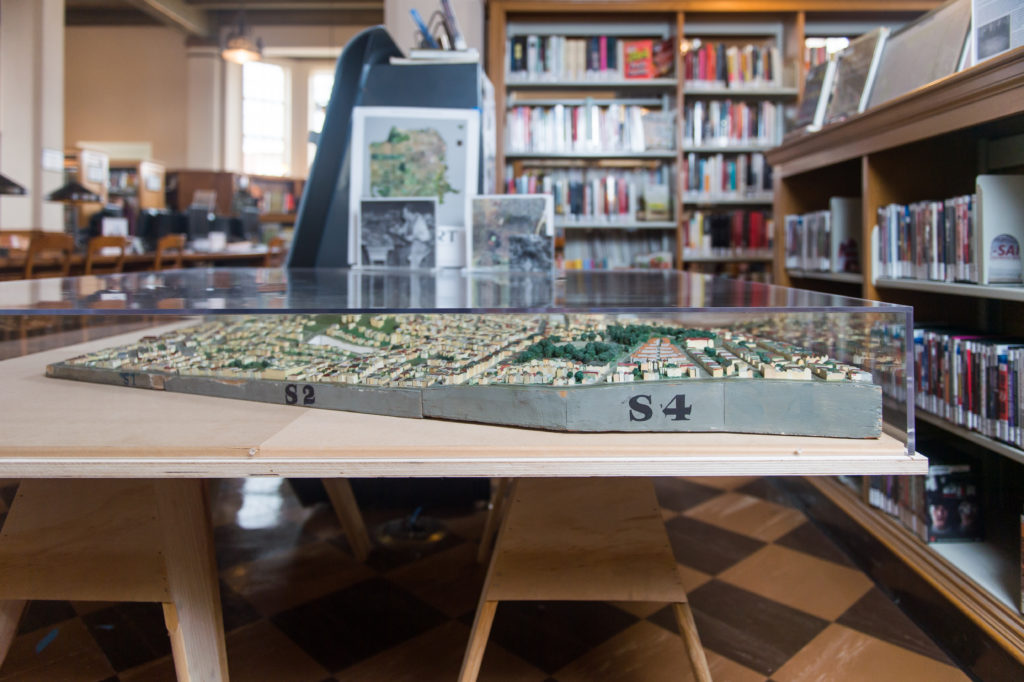
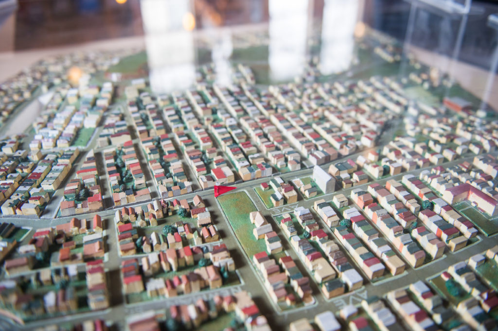
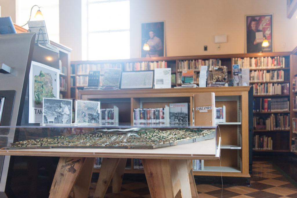
Bernal Heights was known primarily for its open spaces in 1938, but it already had a core village vibe that still defines the neighborhood today. The model depicts businesses popping up on Cortland Avenue, as well as Works Progress Administration projects like the Aztec stairs and this branch of the library. Also easily spotted is Bernal Park, now Precita Park, established by San Francisco supervisors in 1894 and the site of the city’s first Carnaval in 1979.
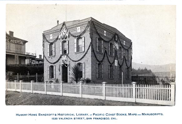
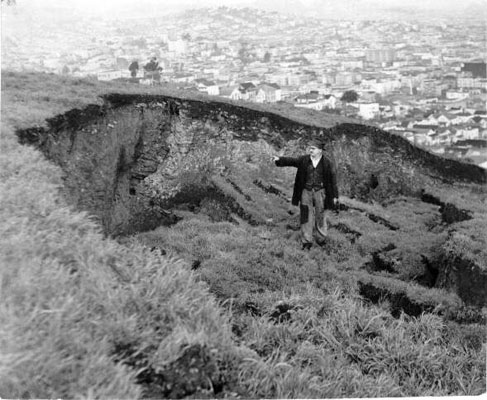
The exposed hill, which originally served as ranch land, features lush grasses that change with the seasons, and 360-degree views. In the late 1800s, Bernal Heights was home to both the original sites of St. Mary’s College, now in Moraga, and the Bancroft Library, now at the University of California, Berkeley. Bernal Heights also boasts San Francisco’s largest surviving collection of earthquake shacks—small, wooden cottages that were built around the city to house more than sixteen thousand people who were displaced after the 1906 earthquake and fire. (Approximately five thousand earthquake shacks were erected across the city.) Not visible in the model are decades-old small businesses like Wild Side West or neighbors bonding over garage sales, soapbox car races, and fireworks or the community members who come to the hill to mourn one of their own at the Alex Nieto memorial.
Historical Photos
All photos courtesy of the San Francisco History Center, San Francisco Public Library.
Scale Model Installation Photos
All photos courtesy of Beth LaBerge.
Neighborhood Mixtape
Branch Events
February 8th, 2019: Map of Bernal Contest! A Visionary Challenge
February 20th, 2019: Bernal History Project
February 27th, 2019: Reading the Model at Bernal
March 20th, 2019: Bernal History Project
